Mark and I headed to California to attempt
Mount Whitney, but first we made a quick stop to visit White Mountain Peak a couple days before the big climb.
Date: June 24, 2018.
Partners: Mark.
Objectives:
White Mountain Peak 14,246ft. Mount Barcroft 13,040ft.
Stats: 15.5 miles and 3,500ft gain in 5:47 round trip.
Strava track.
Gear notes: Trail running gear.
Links:
Summit Post.
Mark had suggested we do White Mountain Peak as an acclimatization hike before Whitney. This evolved into more of a run since the route follows a road all the way to the summit at over 14,000 feet. The tricky part was that to get to the trail head at over 11,000 feet, we had to drive the infamous White Mountain Road. Most of what I had read indicated that it was a tire-eating beast of a road. We left Grand View camp ground about 4:30am and headed out on the long, slow and bumpy drive. It took us almost two hours to get to the trail head 20 miles away, with the last 16 of those being a bit nerve-wracking.
Eventually we reached the trail head where we strapped shoes on our feet, loaded our hydration packs and hit it.
 |
| Trail head. |
 |
| Looking back at the parking area. |
 |
| Hazy view of the Sierra Nevada Range. |
 |
| Marmots. |
There were Marmot's just about everywhere we looked.
 |
| Barcroft Research Station. |
About 2 miles up the road you pass the Barcroft Research Station. The road was fairly runnable, but the high altitude slowed us down a bit.
 |
| Wilderness Boundary and White Mountain Peak. |
 |
| Mark running the road. |
 |
| Big Horn Sheep. |
We passed a couple Big Horn Sheep a ways off of the road. I didn't get a real good picture; I was more focused on breathing.
 |
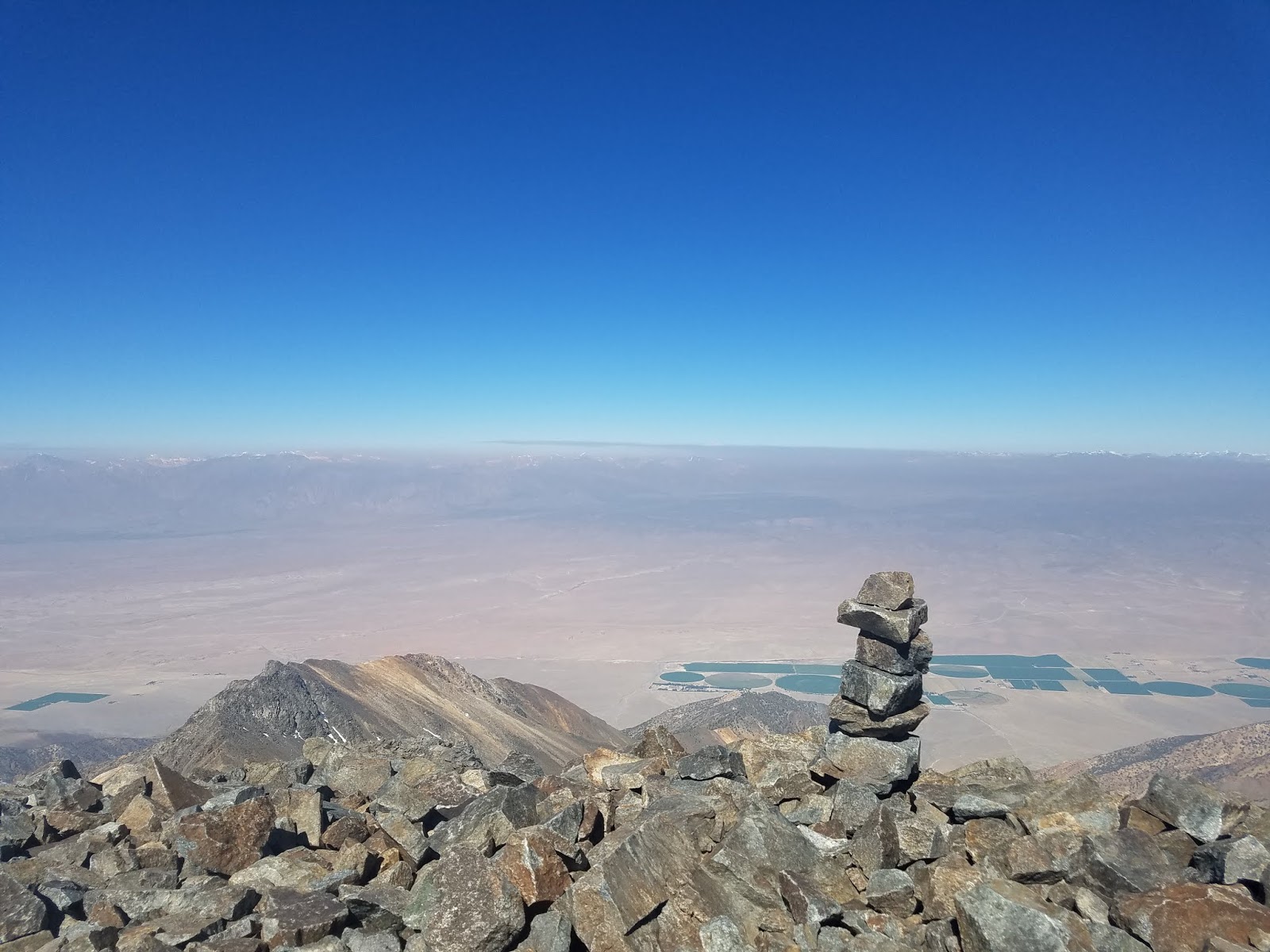
| Smoky view to the south east. |
Smoke from a nearby wild fire close to Mammoth filled the air obscuring our view.
 |
| Closing in on the summit. |
The last mile or so to the summit was the steepest. We were starting to feel the altitude which meant slowing our pace.
One step, one breath.
 |
| Almost to the top. |
 |
| Summit. |
We reached the top in just under 3 hours from the car. Not bad considering we reached 14,200 feet.
 |
| Summit view. |
The otherwise potential view of the Sierra Nevada Range was obscured by the smoke.
 |
| Looking north. |
 |
| USGS benchmark. |
 |
| Summit log. |
 |
| Mark and Cody hanging out on the summit. |
There is a high altitude atmospheric research station on the top. You can't go inside but it does block the wind.
 |
| Summit view. |
It was still a pretty awesome summit and just a bit on the breezy side. We chatted with our new friend Cody whom we had met on the trail. After checking in with our CEO's, I mean significant others, we hit the trail and headed for Mt. Barcroft, a 13,000 foot peak just off the road.
 |
| Running downhill at 14k. |
Running at high altitude was significantly easier going down hill.
 |
| Mt. Barcroft. |
Somehow we managed to go over, instead of around, the only false summit to get to the high point of Barcroft. We were definitely stoked to tag a 14er and 13er in such a short time.
 |
| Summit of Mt. Barcroft. |
 |
| Summit log. |
It was a pretty simple descent to get back to the car, but the drive out was another story. Once back on the pavement, I could finally relax. We took a quick stroll to see the
Bristlecone Pine's which are some of the oldest living trees on Earth. We had a good dinner at the Mt. Whitney restaurant and a good nights sleep at the
Whitney Hostel - both recommended if you visit the area.
 |
| Mt. Whintey from Lone Pine. |
White Mountain Peak is a county and range highpoint and the 3rd highest in the state, but it was a secondary objective. Mt. Barcroft was icing on the cake. Now we had to focus on the primary objective; The Big W!
Mt. Whitney.


No comments:
Post a Comment