Sunday, December 3, 2017

Copper Mountain

Date: December 2, 2017.

Objective: Copper Mountain 8,966.

Stats: 4.2 miles, 2,100ft gain in 3:30 round trip. Strava track.

Partners: N/A.

Gear notes: Snowshoes.

Links: Idaho: A Climbing Guide.


I was looking for a relativity mellow, dare I say easy peak that wasn't going to be a long drive.  I've been eyeing the peaks around the Banner Summit area since it's well known for its outstanding access during winter, hence Copper Mountain being well known as a back country ski destination. There are several peaks that caught my eye, but I figured I might as well just go for Copper since it was my first peak in the area.  The weather was forecast to have a winter storm roll in about 11am, so I was racing the clock just a tad. Copper seemed to be a pretty straight forward route which would make for easier route finding if the weather got real bad.

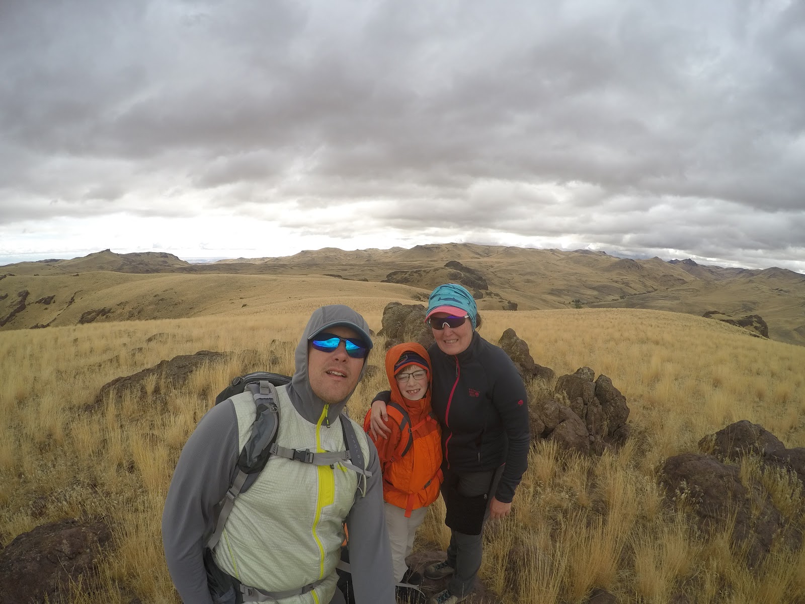
I parked at the turnout closer to Bull Trout Lake, on the west side of Hwy21, hopped to the east side, strapped on the slow(snow)shoes and and got to it. Down low in the trees there isn't much of a view, so there was no point in stopping for pictures.

Okay, maybe just one...


Trees.

There are a few options to get to the top of this bad boy. My route was the West Ridge. Not the most interesting but it's always great to be in a new area.

Twisted tree.


There is a twisty tree on the ridge that is kinda cool.

After a bit of leg work, the trees start to thin and the views open up. I could see the jagged peaks of the interior of the Sawtooth Range, but the clouds were closing fast so that only lasted for about five minutes.


Peak 9220.

Mid mountain. Good snow for sliding.

Once out of the thick of the trees you're able to zero in on the top.

Upper slopes.

Looking south at Peak 8848.


True summit.

Only that's not the actual top. Keep traversing east to get the high point. But mind the cornice's!
And finally, that view. Or what was left of it anyway...

Looking northeast. I think its Cabin Creek Peak.

  I think this is Cabin Creek Peak, but I'm probably wrong so please correct me.

Peak 9220 sits on the east end of the ridge.

Looking southeast.

Looking west.


About the time I got to the top was about the time the wind picked up. The snow was coming in sideways and visibility was dropping. Time to head down.

On Top.

Cornice's on the summit.

Pano.

The upper exposed sections of the mountain provided no protection from the wind. Once I was back in the trees, I was able to stop for a minute and take in a few calories. I retraced my route back to the car.

Monday, October 30, 2017

Peak Bagging at Craters

Just a quick trip over to Craters of the Moon to check off a few more peaks.

Dates: October 28-29, 2017.

Objectives: Sunset Cone. Grassy Cone. Silent Cone.

Stats: Listed below.

Partners: Deez and Lego Master.

Gear notes: Should have worn thick pants to aid in not thrashing my legs in the sage brush.

Links: Idaho: A Climbing Guide - Sunset ConeGrassy Cone and Silent Cone. A previous trip to Craters - Big Cinder Butte.


Day 1: Sunset Cone. 500ft gain and 1 mile round trip.

There had been a perfect stretch of fall weather and we had to take advantage of it. We decided against anything in the high mountains since we were taking the youngster out with us. Craters of the Moon has plenty to see and can be a very good choice this time of year. After driving the Blue Bug Smasher to the camp ground and getting set up, we parked at a pullout on the south side of the highway and started up the sage brush covered slopes and headed for the top of Sunset Cone. It didn't take too long to reach the top.

Looking toward Arco.

Big Southern Butte.

Summit.

Craters.

Next up was Grassy Cone. 350ft and less than a mile round trip. We parked at the pullout nearest to the peak on the south side of the highway. I was hoping the name Grassy Cone would come from its slopes being covered with grass and not sage brush, but I was wrong. Neither of these peaks were particularly fun, but they were easy minus the sage brush, and the boxes are now checked.

Sunset Cone from Grassy Cone.

Summit.
Well, whatever. Two peaks is two peaks, right!? 

The sun was beginning to set so that was the end of hiking for the first day. We hung out in camp and enjoyed watching the stars come out before we settled in.

Day 2: Silent Cone. 900ft and 3 miles round trip. We had a bit more time to use on day 2 so we picked a bit more of a challenge and we didn't have to start super early which was nice. We hiked the North Crater Trail for the interesting views and terrain. The Geologist in me wants to ramble on about it, but I wont. You're welcome. I do highly recommend this trail though.

The shortest way would be to start from the Spatter Cones if you wanted to skip one of the best trails at Craters of the Moon.

Starting out on the North Crater Trail.

Sunset Cone.

The North Crater Lava Flow and Grassy Cone.

North Crater Trail.

There are many excellent geological examples along this trail and the hiking is not too difficult.

Silent Cone.
I will stress the importance of minimizing human impact here. 'Nuff said!
We hiked with great care up the Silent Cone.

Sage brush.

The terrain isn't difficult but there is plenty of sage brush to weave though.

Big Cinder Butte. 

The views were fantastic from the top. We were treated to warm temps, clear skies and very light wind. We could see from Carey to Arco no problemo, and all the lava in between.


Another summit!

North Crater (not a ranked peak).


Ssshhhh!

 We almost forgot where we were. Duh!


Then it was back down the same slope and trail all the way back to the car.

Hiking back along the North Crater Trail.

Looking out over the North Crater Lava Flow.
We were back in time for an almost late lunch before a stop at the visitors center and a head start on the drive home to stop for a milk shake. It was a pretty quick and easy trip to check off three peaks. Kid tested; mother approved!

Wednesday, October 25, 2017

Buck Mountain and Peak 4620

Hiking in the Owyhee's on a windy day and snagged two peaks with a short section of class 3 on Peak 4620.

Date: October 8, 2017.

Objectives: Buck Mountain and Peak 4620.

Stats: Strava track. 3.6 miles and 1,400ft gain round trip.

Partners: Deez, Lego Master and Ketchum the krazy dog.

Gear notes: N/A.

GoPro Video


Looking toward the peaks from the road.


We headed out for a two peak day, which was much easier than it may sound. After an hour or so of driving, we parked along an unnamed road that runs along side Squaw Creek and headed toward our peaks.

Step one: Cross Squaw Creek. No problemo late in the year but I've heard this creek crossing can give you some trouble in the spring.

Deez hops the creek.
After that, we headed up the not-too-steep hillside and into the canyon that more or less heads right up to Buck Mountain. No major obstacles to report in this section.

Looking east at Peak 4620.

The Fam gaining elevation.

Near the top of the canyon.

From the top of the canyon, just pick your line and head for the top. It wasn't far or difficult, but the wind pushed us around a bit.

Looking back over Squaw Creek.

A few views off the top.

Views from Buck Mountain.

Views from Buck Mountain.

Views from Buck Mountain.

Views from Buck Mountain.


And a selfie!
Top of Buck Mountain.
We ducked out of the wind the best we could and had a quick snack before pushing on to Peak 4620.

Zoomed in on Peak 4620.

Heading to Peak 4620.

Heading to Peak 4620.

Shares Snout in the distance looked fun. Anyone up to trail run it?

Shares Snout.
Peak 4620 is interesting in the fact that there is actually a bit of 3rd class scrambling involved. It's not exposed or difficult, just interesting and fun.

Summit block of Peak 4620.

Deez climbing a short step enroute to the summit.

Top of Peak 4620.
We were all smiles and high-fives while we took in the view from the top. Nothing left to do now but head down.

Dryden Peak and Piute Butte, I believe. Looking south from Peak 4620.

Heading down.

Heading down.

"Yay, this is fun!"

There was just a bit of up-and-over before we could head back down. We got hit by a light rain shower that passed as quick as it came.

Leaving Peak 4620.

Heading down.

We hiked past some cool towers, then headed straight for the road to get back to the car before the dark clouds opened up again.

Fun peaks, easy hiking and a good day!

Happy trails!