Inversion means high pressure. Overcast and cold in the Treasure Valley, but sunny, warm and calm in the mountains. Nip Benchmark is not the most rugged peak, but the access is good. Couple that with a weather window and you have the key to getting into the mountains during the winter.
Date: Jan 28, 2017.
Objective:
Nip Benchmark 7,373ft.
Stats: Class 2. 4.9 miles, 1,227ft gain, 4:05hrs round trip.
Strava track.
Partners: Dan, Carrie, John, Tamara, Mark, Tory, Josh and Jen. Dogs: Vuyo and Shadow
Links:
Mark's report.
Dan's report.
Gear notes: Snowshoes and sun screen.
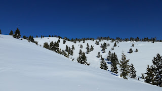 |
| Nip Benchmark high point. |
Mark, Dan and I had the usual back and forth discussion about which peak to attempt during a much needed weather window. Dan put Nip Benchmark just north of Stanley out there as an alternative to the desert peaks of the Owyhee's we were discussing. For me, the peak didn't matter as much as just getting out did.
We decided on a later start since the overnight low in Stanley was well below zero. I don't recall the exact thermometer reading as I left the comfort of my car, but lets just say it was one or both degrees at 11am.
Get busy moving or get busy freezing!
The initial section was along Nip and Tuck Road. It had been groomed for snow machine use and provided us with the easy ground we needed to warm up. We left the road and used some SnoMo tracks as we headed up the South ridge. It wasn't long before we were all sweltering and shedding layers.
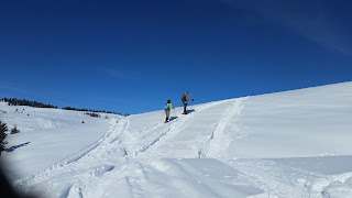 |
| Dan and Carrie leaving the road. |
 |
| Nip and Tuck Road. |
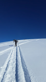 |
| Heading up the South ridge. |
We regrouped along the ridge and started the rotation of breaking trail as we headed toward our peak. There was just a short section of downhill before the next uphill section.
 |
| Slogging along. |
 |
| Dan with Nip Benchmark in the background. |
 |
| Jen and Josh. |
The views of the snow covered peaks of the Sawtooth Range were as impressive as ever. Even though the air temp was likely in the single digits, there was not a breath of wind. It felt downright hot.
 |
| Sawtooth Range. |
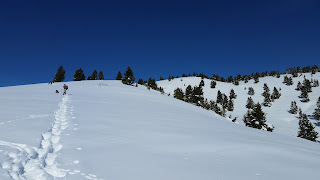 |
| Mark and Vuyo in the lead. |
Let the hunt for the highpoint commence!
John lead us though the trees and right over the highpoint, hitting every bump along the way just to make sure. He picked a nice spot with a view and dug a bench where the group could rest and enjoy lunch.
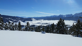 |
| View from our lunch spot. |
 |
| Lunch is served. |
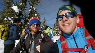 |
| Mark and I. |
It was great to chat it up with friends both new and old and hear about what everyone had been up to.
 |
| Sawtooth's. |
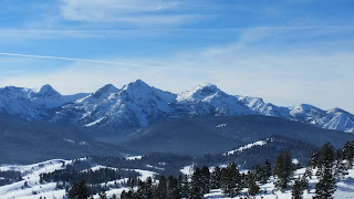 |
| Northern Sawtooth's. |
After lunch and plenty of pictures, we were discussing the idea of a loop. We would descend the East ridge, eventually getting back to the road just above our vehicles.
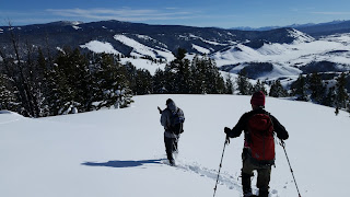 |
| Dan and John beginning the descent. |
Dan led us down the ridge, weaving though a few stands of trees and some neat rock formations.
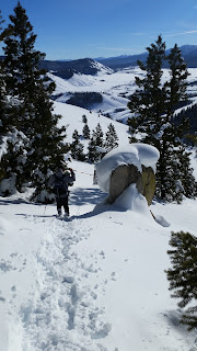 |
| Dan leading the way though the rocks. |
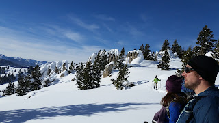 |
| Carrie makes her way past the rocks. |
We punched though to boot top or deeper from time to time on the descent. I was glad to see the snow pack remained stable even late into the day.
 |
| Mark following the trail. |
Dan had finally had enough of slogging out in front, so I took over and angled down a gully and back to the road.
 |
| Gully back to Nip and Tuck road. |
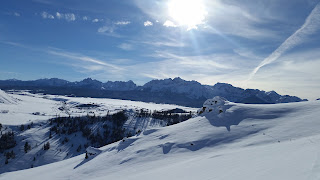 |
| One last view. |
We would have been in a fine vantage point to view the sunset only a couple hours away.
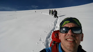 |
| Sweltering for the time being. |
We were glad to be off of the mush and back on the road to our vehicles. In the course of about 5 minutes from the bottom of the gully to the road, the air temp went from sweltering to freezing, requiring us to add a layer for the short walk to our parking spot. Then we regrouped in Stanley for libations and a few laughs before heading off into the evening. Not a bad way to spend the day.
Happy trails!


